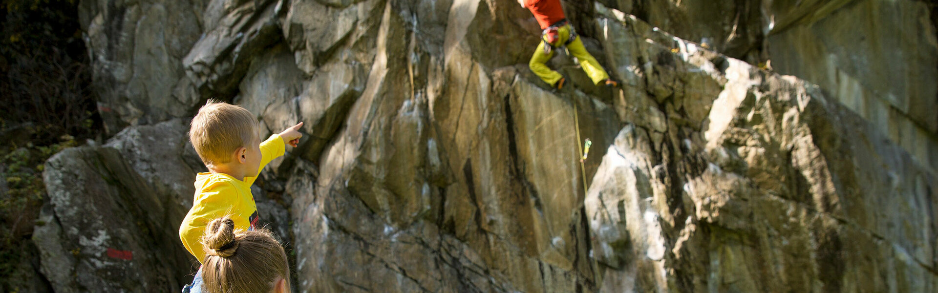
Via ferrata in the Ötztal
an experience of a special kind
If you are looking for an experience at dizzying heights, you have found it with this sport. The via ferratas in the Ötztal offer everything a climber's heart desires! From the adventurous Stuibenfall via ferrata to the adventurous Lehner waterfall via ferrata to the challenging Reinhard-Schiestl via ferrata, every climbing enthusiast will find exactly what he is looking for! Via ferratas in the Ötztal are definitely a "must" on any vacation in the Ötztal!

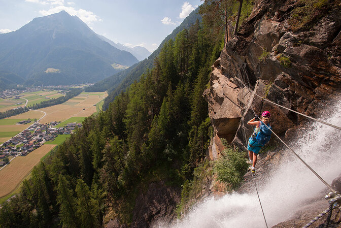
The via ferrata in Umhausen-Niederthai with 450m climbing length requires surefootedness and a head for heights. The via ferrata leads the first part along the rock face of Niederthai to a small rest area below a rock outcrop. After the "resting place" you climb directly on the left side of the Stuibenfall to the exit. Here the daring have the opportunity to cross the "Stuiben" on a wire rope. You see the 159m high waterfall from a different perspective. The easy variant leads to the exit on the left side.
Difficulty / Equipment:
On the difficulty scale from A to E (from easy to extreme), the Stuibenfall via ferrata is at C, in the middle range. Most of the route is in the B range, two short overhangs are at C. This makes the Stuibenfall via ferrata ideal for families and beginners. Many stepping aids have been built in for children. Thus, they can enjoy climbing from about ten years with an additional rope belay without any problems.
Climbing length and time required
300 meters in altitude and 450m climbing length. About 3 hours, with the descent about 3.5 - 4 hours.
Starting point
From the parking lot Bischofplatz in Umhausen about 20 minutes by foot. From the parking lot "Mure" directly in the village center about 30 minutes on foot.
Descent
Via the hiking trail Stuibenfall over the platforms towards Umhausen or further towards Niederthai. (see signpost)
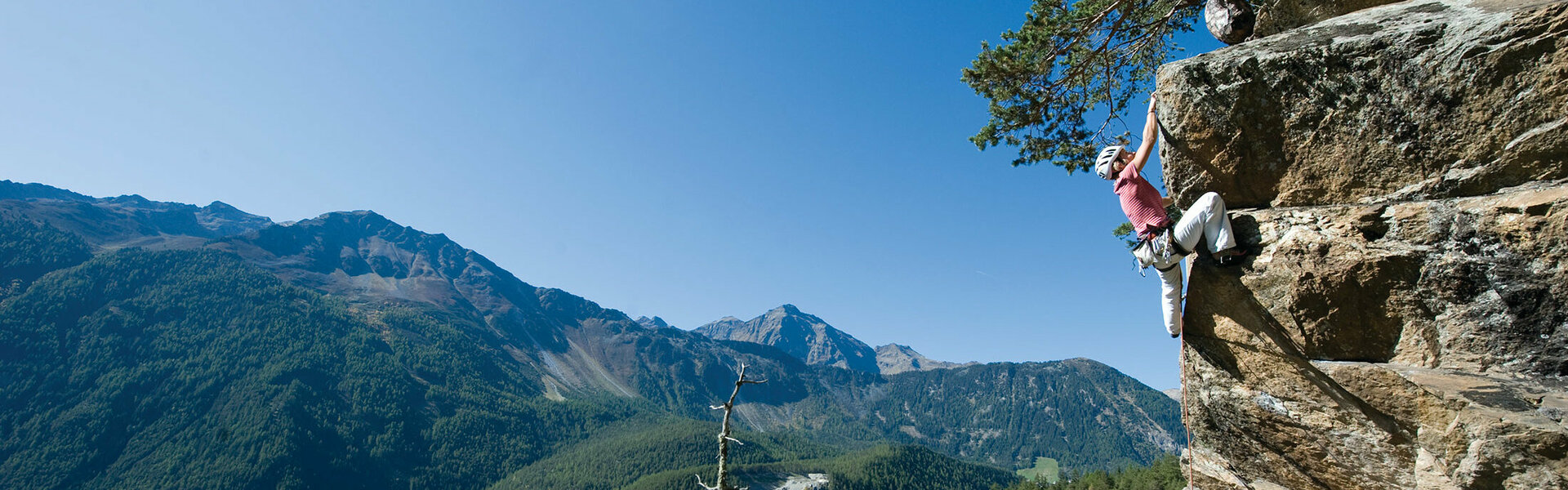
A first-class via ferrata.
After a comfortable approach next to parts of the open-air museum, along a traditional cross path, you reach the entry point after about 10 minutes. Except for the somewhat steeper entry wall and the overhang towards the end of the via ferrata, this is a very pleasant climb that is also suitable for less persistent climbers. Over the 160 meters in altitude, step bars and steps are very generously placed. The view of the thundering waters of the Lehner waterfall make the via ferrata particularly attractive.
Via ferrata course
after the vertical entry wall C, the route leads over two steep steps B, then traverse B/D, then somewhat steeper wall until the overhang D (here it is possible to bypass the place in an easy way). A rock band B then leads to the steep exit wall B.
Via Ferrata Facts
160 vertical meters
250 rope meters
2 - 2.5 hours including descent
Starting point: Lehn near Längenfeld, parking lot south of the local history museum.
Descent: in bends downhill to the right from the exit back to Lehn.
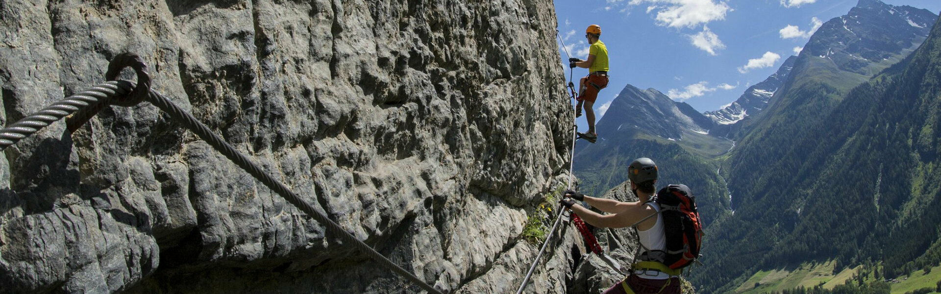
On Reinhard Schiestl's tracks over the Burgsteinwand
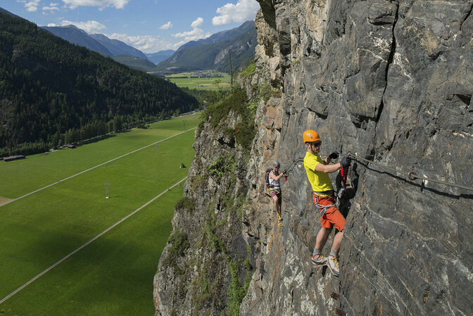
Compared to the moderate via ferrata at the Lehner waterfall, the anniversary via ferrata Reinhard Schiestl is somewhat more difficult and requires some strength. The climbing meters are 300 meters, on 200 meters of altitude. The via ferrata leads almost vertically but secured throughout with a wire rope, clamps and step bars upwards. The exit is at the mountain meadows of Burgstein where a fantastic panoramic view of the Stubai and Ötztal Alps opens up.
Very rewarding: at the exit there are several places to stop for a break and refreshments.
Via ferrata course
A small overhang makes the entry wall quite a sweaty endeavor right away and is rated C/D. Thereafter, the via ferrata runs in the difficulty level B/C with partly steep wall construction, a cross passage B and a steep step D. Three rest areas have been set up along the length of the via ferrata.
Via ferrata facts
200 vertical meters
300 rope meters
2,5 - 3 hours including descent
Starting point
At the southern end of Längenfeld near the Astlehn town sign (the parking sign is visible from the main road), approach - about 5 minutes.
Descent
Along the marked descent path towards Längenfeld, then back to Astlehn. Walking time: about 45 minutes.